Introduction
Achieving sustainable development and climate goals—such as the UN Sustainable Development Goals (SDGs) and the Paris Agreement—depends on reliable monitoring of environmental and socioeconomic indicators. Satellite analytics has become a critical enabler by delivering consistent, global, and repeatable measurements of Earth’s systems.
From deforestation and urban growth to drought risk and air quality, satellites provide a transparent evidence base that helps governments, NGOs, researchers, and businesses measure progress, identify hotspots, and prioritize interventions. The core idea is simple: if you can’t measure it, you can’t manage it.
Tracking SDGs from Space
Many SDG targets have spatial and environmental indicators that satellites can support directly or indirectly.
SDG 15: Life on Land
Satellite data supports:
- Forest area and forest loss monitoring (annual and near real-time)
- Land degradation detection using vegetation productivity and bare soil exposure
- Habitat change and fragmentation tracking
This helps validate whether forest protection policies work and where restoration should be targeted.
SDG 13: Climate Action
Satellites contribute to climate action by monitoring:
- Greenhouse gas concentrations (CO₂ and methane)
- Drought and wildfire risk indicators (vegetation stress, soil moisture proxies)
- Ice loss, glacier retreat, and sea level rise (key physical impact metrics)
These datasets strengthen climate accountability by showing observed atmospheric and Earth-system trends.
SDG 11: Sustainable Cities
Urban sustainability requires knowing how cities expand over time. Satellite analytics supports:
- Built-up area growth (sprawl vs densification)
- Green space availability within urban areas
- Land consumption vs population growth indicators (when combined with demographic data)
This is especially valuable where local mapping is outdated or incomplete.
SDG 2: Zero Hunger
Satellites support food security and sustainable agriculture through:
- Crop condition monitoring using vegetation indices and time series
- Drought stress detection and seasonal anomaly mapping
- Cropping intensity and phenology insights that inform yield estimates
Early warnings help prevent crises and improve resource allocation.
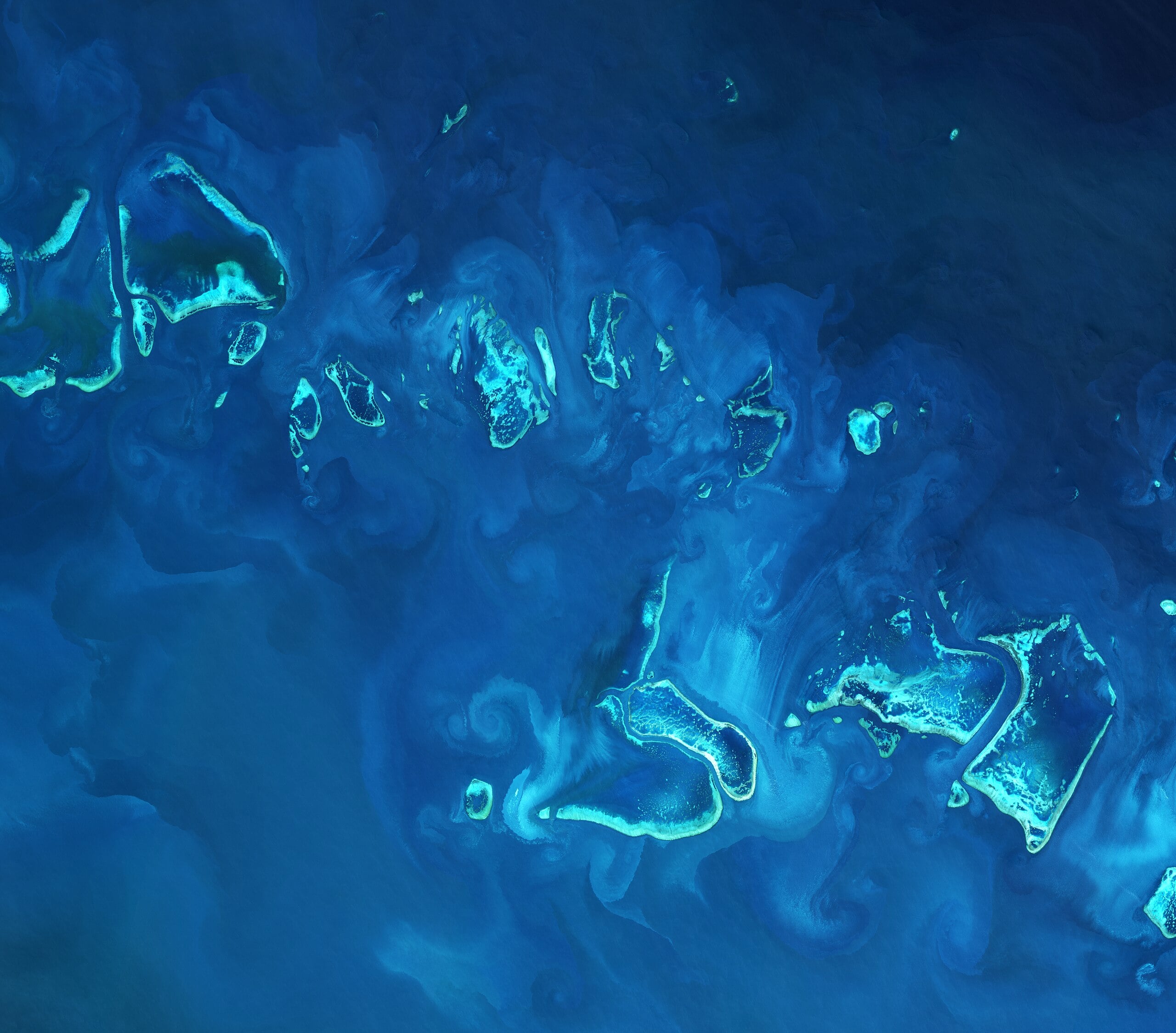
SDG 6: Clean Water
Satellite analytics supports water management via:
- Surface water extent tracking (reservoirs, lakes, rivers)
- Water quality proxies (turbidity, chlorophyll indicators in suitable conditions)
- Water productivity indicators (when paired with evapotranspiration and crop mapping)
This improves planning for drinking water, irrigation efficiency, and ecosystem protection.
Supporting Climate Agreement Monitoring
Beyond SDGs, satellites increasingly support climate governance.
Greenhouse Gas Transparency
Historically, emissions reporting relied heavily on inventories. Satellite observations can highlight:
- methane super-emitters (large leaks)
- regional emission anomalies
- changes over time that can be compared to reported progress
Nature-Based Solutions Verification
If an entity commits to reforestation or restoration, satellite time series can help verify:
- whether land cover actually changed
- whether vegetation persists over multiple years (survival, regrowth trends)
Adaptation and Loss & Damage Evidence
Satellites rapidly quantify impacts from climate-linked extremes:
- flooded area and inundation duration
- burned area and burn severity
- drought extent and vegetation stress
This supports planning, climate finance accountability, and disaster response.
Why Satellite Analytics Matters: Transparency and Efficiency
Satellite data provides objective, repeatable measurements that enable:
- Transparency: independent verification of claims and targets
- Accountability: consistent evidence across regions and time
- Prioritization: focus interventions where they matter most
- Early warning: detect risk signals before crises escalate
Instead of relying only on infrequent ground surveys, decision-makers can maintain a living picture of progress and risk.
Practical Example: Turning Metrics into Action
A country can use satellite analytics to:
- identify provinces responsible for most forest loss
- evaluate whether protected areas reduce deforestation
- target restoration where land degradation is accelerating
- monitor whether urban expansion is encroaching on floodplains
- track drought development and anticipate food insecurity
This transforms sustainability strategy from broad intentions into measurable operational plans.
How GEOEVO Helps
GEOEVO is designed to convert Earth observation data into decision-ready insights by combining:
- satellite-derived indicators (land cover, change detection, vegetation indices)
- time-series analysis for trends and seasonality
- contextual layers (hazards, infrastructure, climate signals)
- an AI assistant that helps users query and interpret results in plain language
The result is a faster path from raw imagery to sustainability intelligence.
Conclusion
Satellite analytics has become indispensable for meeting sustainable development and climate goals. It provides the measurement backbone for tracking forests, food systems, cities, water resources, climate risks, and physical impacts—at scales that would be impossible with ground monitoring alone.
As climate pressures intensify, the organizations that succeed will be those that can measure change early, verify outcomes, and continuously steer interventions with evidence. GEOEVO enables this by turning satellite data into actionable, transparent metrics aligned with real-world sustainability needs.