Introduction
Ecosystems across the planet are under unprecedented pressure. Forests are cleared for agriculture, wetlands are drained for development, and natural landscapes are fragmented by infrastructure. At the same time, large-scale restoration and conservation efforts are underway, aiming to reverse damage and protect remaining ecosystems. Understanding whether these efforts are working requires accurate, consistent, and transparent monitoring — something traditional ground-based methods alone cannot deliver.
Satellite intelligence has become the backbone of modern ecosystem monitoring. By observing land cover, vegetation health, and change over time, satellites provide objective evidence of both environmental loss and recovery. Platforms like GEOEVO transform this raw satellite data into actionable insights, enabling governments, NGOs, and researchers to track ecosystem change with clarity and confidence.
This article explores how satellite analytics supports ecosystem monitoring, why it is essential for conservation and restoration, and how GEOEVO turns pixels into ecological intelligence.
Why Ecosystem Monitoring Is So Challenging
Ecosystems are dynamic and complex. Changes may occur gradually — such as slow forest degradation — or suddenly, like clear-cutting or wildfire. Many regions are remote, politically sensitive, or simply too vast to monitor on the ground.
Traditional monitoring methods face serious limitations:
- Field surveys are costly and cover limited areas
- Reporting can be inconsistent or delayed
- Data collection may be influenced by local bias or access constraints
Satellite data overcomes these challenges by offering repeatable, unbiased observations at regional to global scale.
Seeing Forests from Space
Forests are among the most closely monitored ecosystems because of their importance for biodiversity, climate regulation, and livelihoods. Satellites detect forests by analyzing spectral signatures associated with vegetation structure and chlorophyll content.
With long-term archives such as Landsat and Sentinel, analysts can:
- Measure forest extent annually or even monthly
- Detect canopy loss and degradation
- Track regrowth and reforestation success
GEOEVO automates these workflows, allowing users to compare forest cover across decades without manual preprocessing or custom scripting.
Differentiating Loss, Degradation, and Recovery
Not all forest change is equal. Satellite analytics distinguishes between:
- Complete deforestation (clear-cutting)
- Partial degradation (selective logging, thinning)
- Natural or assisted regrowth
By analyzing change patterns, texture, and vegetation indices, GEOEVO identifies not just where change occurred, but what kind of change it was. This distinction is critical for accurate carbon accounting and biodiversity assessments.
Monitoring Reforestation and Restoration
Restoration projects often face a visibility problem. Trees may be planted, but survival rates vary widely depending on climate, soil, and management. Satellite time-series analysis reveals whether vegetation is actually establishing.
Using indicators like NDVI and canopy density trends, GEOEVO enables users to:
- Verify restoration claims
- Compare performance across project sites
- Detect early signs of failure or drought stress
This evidence-based feedback loop helps organizations adapt strategies and invest resources where they have the greatest impact.
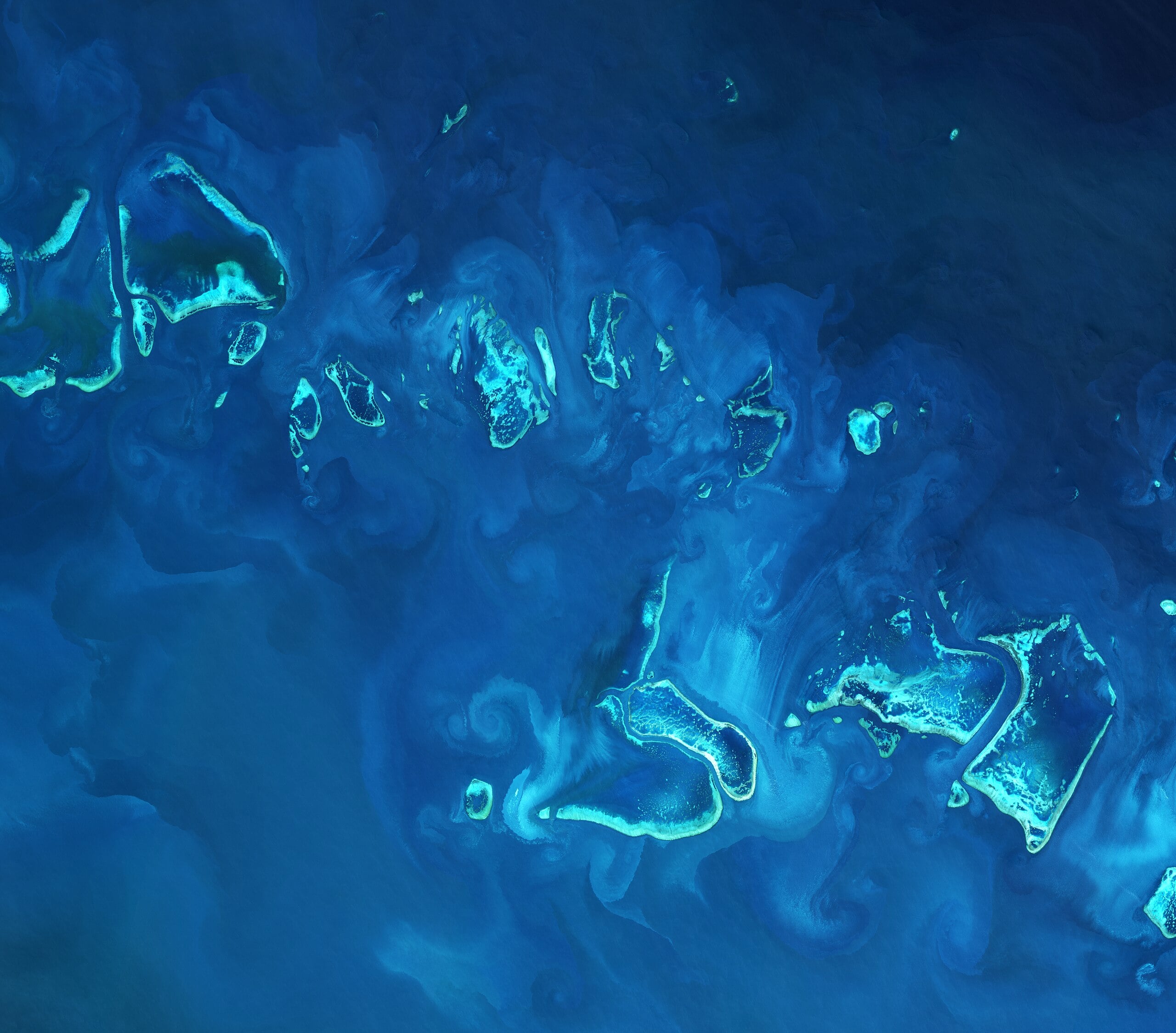
Wetlands, Grasslands, and Other Critical Ecosystems
Forests are only part of the story. Wetlands, grasslands, mangroves, and savannas provide essential ecosystem services but are often under-monitored.
Satellite analytics supports these ecosystems by:
- Mapping seasonal water extent in wetlands
- Tracking grassland productivity and degradation
- Monitoring coastal mangrove loss and recovery
Because satellites revisit frequently, they capture seasonal dynamics that single field visits would miss.
Biodiversity Indicators from Space
While satellites cannot directly count species, they provide powerful proxies for biodiversity health:
- Habitat extent and connectivity
- Vegetation heterogeneity
- Disturbance frequency
By combining land cover maps with fragmentation metrics, GEOEVO helps conservationists identify priority areas where ecosystem integrity is most at risk.
Climate Change and Ecosystem Stress
Climate change is altering ecosystems worldwide through heat, drought, and extreme events. Satellites are often the first to detect these impacts.
Examples include:
- Earlier vegetation senescence during droughts
- Increased fire frequency and burn severity
- Shifts in growing season length
GEOEVO integrates climate context with ecosystem data, helping users interpret whether observed changes are driven by human activity, climate variability, or both.
Supporting Policy and Accountability
Satellite-based ecosystem monitoring plays a critical role in environmental governance. Many international commitments — such as climate pledges or biodiversity targets — rely on transparent measurement.
With GEOEVO, stakeholders can:
- Independently verify land-use claims
- Track compliance with conservation regulations
- Support evidence-based reporting
This transparency builds trust and reduces reliance on self-reported data.
AI and Scale in Ecosystem Monitoring
The sheer volume of satellite imagery makes manual analysis impractical. AI models enable consistent, scalable interpretation across regions and time.
GEOEVO’s AI-driven workflows:
- Automate change detection
- Reduce human bias
- Maintain methodological consistency
This allows monitoring to move from isolated studies to continuous, operational systems.
Limitations and Responsible Interpretation
Satellite data shows physical change, not intent or legality. Ecosystem monitoring must be paired with local knowledge, field validation, and ethical use.
GEOEVO is designed to support — not replace — expert judgment by providing clear, explainable analytics rather than opaque predictions.
Conclusion
Protecting and restoring ecosystems requires seeing change clearly, early, and objectively. Satellite intelligence makes this possible by revealing patterns invisible from the ground.
By transforming satellite data into actionable insights, GEOEVO empowers organizations to move beyond assumptions and anecdotes toward evidence-based environmental stewardship.
As global pressures on ecosystems intensify, platforms like GEOEVO ensure that conservation, restoration, and sustainability efforts are guided by reality — measured from space, understood on Earth, and acted upon with confidence.